If you’re learning Japanese, this is a nice place to notice real-world words like 下町 (shita-machi, old downtown neighborhood), 山 (yama, mountain), and 道 (michi, road; path) in context. The area feels quiet, but it tells a big story. And there’s more.

Shirokane in Tokyo: why geography still matters
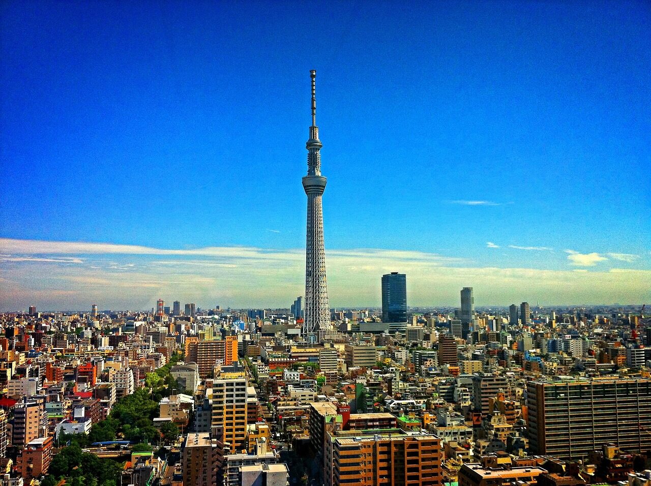
What most people don’t know is that Shirokane isn’t famous for skyscrapers, neon, or big tourist crowds. It sits in Minato ward, close to Ebisu, Hiroo, and Mita, and that location matters more than many visitors realise. The area’s gentle hills, elevated roads, and older residential layout have given it a calm, almost hidden feel, even though it sits inside one of the busiest cities on earth.
The reason is simple: Tokyo didn’t grow on a blank canvas. It spread across terrain, valleys, ridges, rivers, and former estates, and Shirokane still shows that history in a very readable way. That’s why a place like this works so well as a micro-lens for Tokyo development. You can look at one neighbourhood and still see the bigger city story. Personally, I love that kind of urban reading. Convinced yet?
NHK WORLD-JAPAN and the Platin angle
NHK WORLD-JAPAN has a useful piece that looks at Platin, the German name reference for Shirokane, as more than just a stylish address. It connects the area’s present-day image with the geography underneath it, and that angle is exactly what makes the story strong. No exaggeration: when a city grows for centuries, even a small rise in land can shape housing, streets, and social identity.
Quick detour: NHK WORLD-JAPAN often does this well. Instead of treating Tokyo like one giant blur, it zooms in on a district, then shows how land use, history, and daily life fit together. In this case, the focus on Platin helps explain why Shirokane feels different from the grid-like commercial zones many newcomers expect. It’s early morning in Kyoto. Think of how a neighbourhood there can feel distinct just because of a slope, a river, or an old temple road. Tokyo works the same way, only on a much larger scale. Personally...
From estate land to city neighbourhood
Historically, the Shirokane area was associated with large residences and quiet land use, and that legacy still lingers in the street pattern. Some roads curve where older paths once ran, and some blocks feel more spacious than in denser central districts. You’ll also notice a stronger residential mood, with detached homes, smaller apartment buildings, and trees that soften the urban edges.
That creates a distinctive identity. It’s not just “nice” or “upmarket”, it’s a district whose reputation grew from the land itself. By the way, this is one of the best reasons to learn Japanese place names carefully. Shirokane literally helps you hear the city. 白 (shiro) means white, 金 (kane, gold; money) means gold, and the name sticks in your mind because it sounds elegant, even before you look at the maps. And there’s more.
How Shirokane shows Tokyo’s urban form
Know that feeling when a neighbourhood looks peaceful, but every street corner seems to tell a different story? Shirokane does that. The area sits near several major transport corridors, yet it doesn’t feel crushed by them. The reason is simple: topography and land use have kept the residential core relatively insulated, even as surrounding districts densified.

This is where Tokyo gets really interesting. A rail line, a main road, and a hill can create three different urban moods within a few minutes’ walk. In Shirokane, that mix has helped preserve a place that feels slower, more enclosed, and more lived-in. Sounds odd, but it’s true. For Japan fans, this is a perfect example of how geography isn’t a background detail, it’s a design force.
Learning Japanese through place and landscape
Here’s a tip for learners: treat neighbourhood names as vocabulary with a map attached. Words like 坂 (saka) for slope, 川 (gawa) for river, and michi for road show up everywhere in Japan, and once you start noticing them, city walks become much richer. In Shirokane, even if the exact kanji aren’t the main point for a visitor, the feeling of the place teaches you how Japanese urban space often works.
My tip: use districts like Shirokane as memory anchors. If you remember one quiet hill area in Minato ward, it becomes easier to compare it with places like Azabu, Shibuya, or Aoyama. Then the whole city starts to make more sense. That’s the real payoff for Japan lovers who want more than surface-level sightseeing. Not bad, right?
Why Platin belongs in any Tokyo conversation
Let’s be honest: many Tokyo guides focus on shopping streets, famous crossings, or food districts. Those are fun, but they miss the slower forces that made the city what it is. Shirokane belongs in the conversation because it shows how geology, land history, and status can shape an urban district without making it flashy.
What I especially like is the balance. Shirokane feels refined, but not loud. It feels central, but not chaotic. It feels modern, but still tied to older land patterns. That combination tells you a lot about Tokyo as a whole, and it also explains why NHK WORLD-JAPAN’s Platin feature works so well. It uses one neighbourhood to reveal the city’s deeper structure. That’s why...
If you enjoy learning Japanese through real places, keep an eye on districts like this. They turn vocabulary, history, and city design into one story you can actually walk through. And that, for me, is the best kind of Japan discovery. And there’s more.
Frequently Asked Questions
Where is Shirokane in Tokyo?
Shirokane is in Minato ward, near areas like Ebisu, Hiroo, and Mita.
Why is Shirokane important for understanding Tokyo?
Its hills, road layout, and residential character show how geography shaped the city’s growth.
What does NHK WORLD-JAPAN add to the story?
It frames Shirokane as a small case study that helps explain Tokyo’s wider urban development.