
Tateyama Kurobe Alpine Route: season reopening and quick facts
Ever wondered why the Tateyama Kurobe Alpine Route draws international crowds every spring? The route, running between Tateyama in Toyama Prefecture and Ogizawa in Nagano Prefecture, has reopened for the 2026 season after the winter closure that typically ends each April. The best part is that you can expect a full set of mountain transport links to operate, including the Tateyama Cable Car, Tateyama Ropeway, and the scenic walkways around Kurobe Dam.
I still remember exactly how it felt to arrive at Murodo, the highland terminal, the first time I saw the snow corridor. Wild, isn't it? Kurobe Dam stands at 186 metres high, and the route includes stops at Bijodaira, Daikanbo, and Murodo, offering a compact but dramatic cross-section of Japan's Northern Alps. Wait, there's more.
Snow corridor and seasonal spectacle
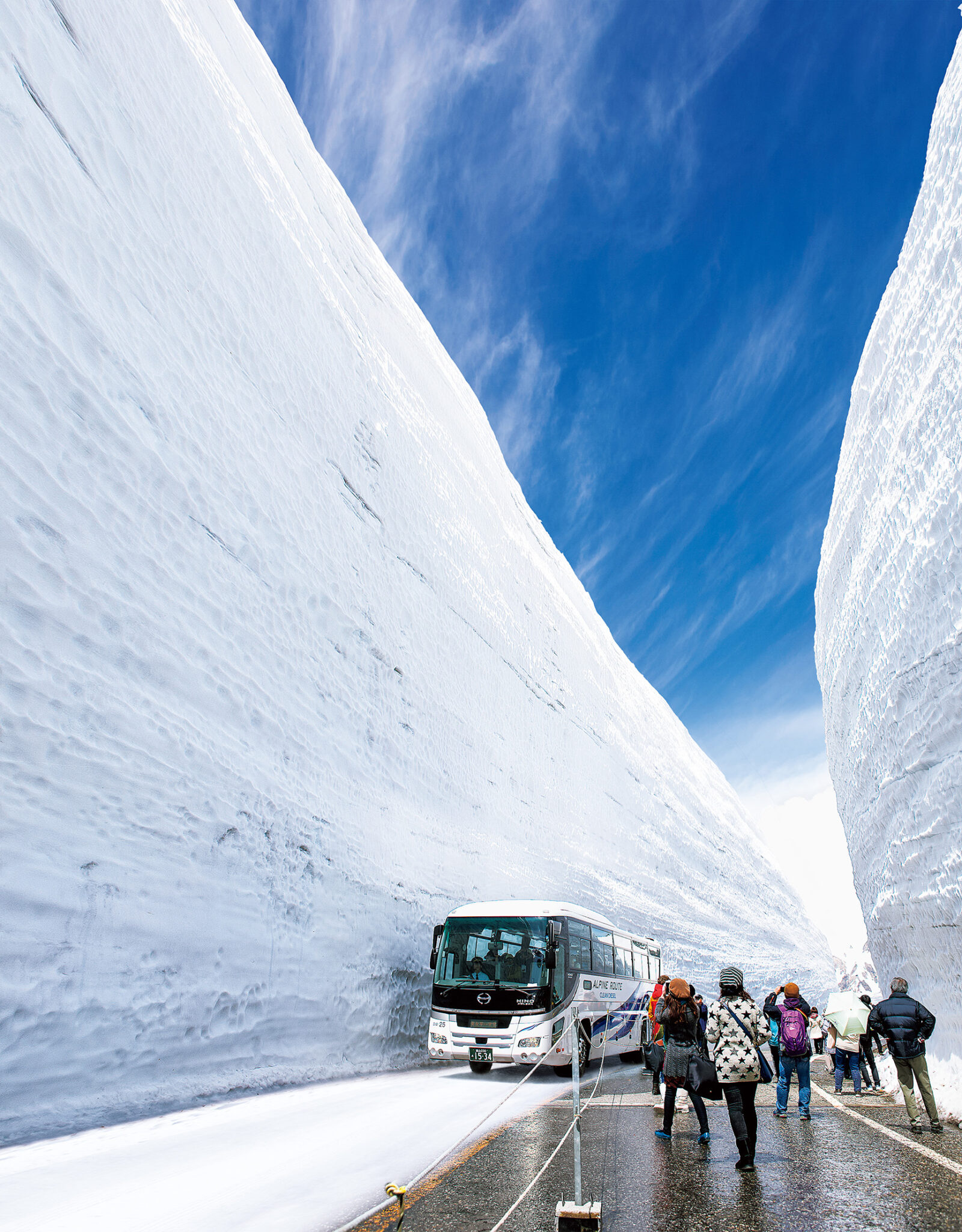
Here's the thing: the snow corridor, known locally as the snow wall, can reach heights of around 15 to 20 metres in peak years. That translates to roughly 50 to 65 feet, a scale that takes first-time visitors by surprise. And it gets better: buses and footpaths carve through this "corridor," creating one of the most Instagrammed landscapes in Japan during late April and May.
How high and where to see the walls
Unlike what we're used to with urban cherry blossom spots, this attraction is all about altitude and open sky. The best viewing sections are around Murodo and Daikanbo, where cleared paths let you walk between the towering walls. Expect cold wind and slushy snow, so pack waterproof shoes and layers. Trust me on this one: crampons or traction cleats are worth carrying if you plan to step off the groomed paths.
Furigana added: a boost for learners and visitors
Question: why does furigana matter for a travel route? For language learners, seeing furigana next to kanji reduces friction when reading station names and signs. This season, the Alpine Route added furigana to major signage to help both domestic readers who struggle with uncommon kanji and international learners who are practising reading aloud. And it gets better: official pamphlets and some timetable displays also include romanisation, so you can match spoken announcements to written forms.
Where furigana appears and how to use it
Here's a practical breakdown. Furigana shows up on station boards at Tateyama, Murodo, and Ogizawa, on informational panels at Kurobe Dam, and on route maps distributed at ticket counters. My tip: when you see furigana, read the small kana first, then the kanji out loud. That aligns pronunciation to meaning and helps memorise kanji readings. Personally, I found that reading signs aloud while walking cemented several place-name readings I kept mixing up back home.
Language practice on the route: turn sightseeing into study time
Speaking of which, this route is a fantastic classroom. The combination of place names, public announcements, and printed guides gives repeated exposure to travel vocabulary, station names, and weather terms. Ever wondered why hearing the same phrases helps? Repetition in a real-world context sticks, especially when tied to strong visual memories, like walking between 20-metre snow walls.
To be fair, bring a small notebook or phone note and jot down new words paired with photos. For example, write down the kanji you see, the furigana reading, and an English gloss. That breaks study into tiny, doable chunks while you enjoy the scenery. Convinced yet?
Practical tips for visiting this spring
Direct address: if you're planning a trip, book transport legs in advance because weekend and Golden Week slots fill quickly. The Alpine Route uses a mix of cable cars, buses, and ropeways, so check departure times to avoid long waits. Oh, almost forgot: the weather can shift rapidly, even in late April, so check mountain forecasts and bring warm layers.
Trust me on this one: arrive early in the day if you want unobstructed photos of the snow corridor. The light is better, and tour groups tend to spread out. Highly recommended: pair the Alpine Route with a short stay in Toyama City to enjoy local seafood and less crowded onsen after a day in the cold. Personally, the combination of hot onsen and snow views is one reason I'll keep coming back.
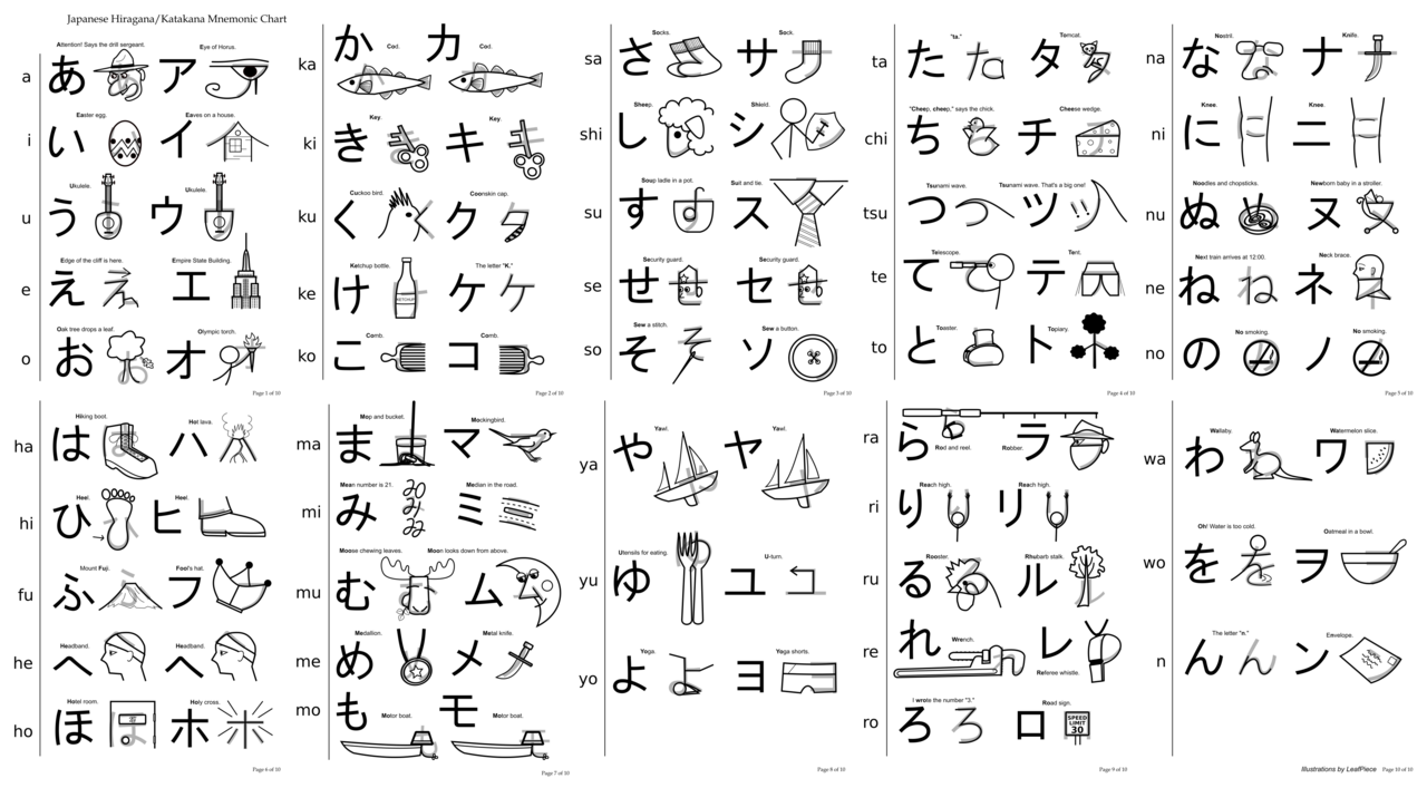
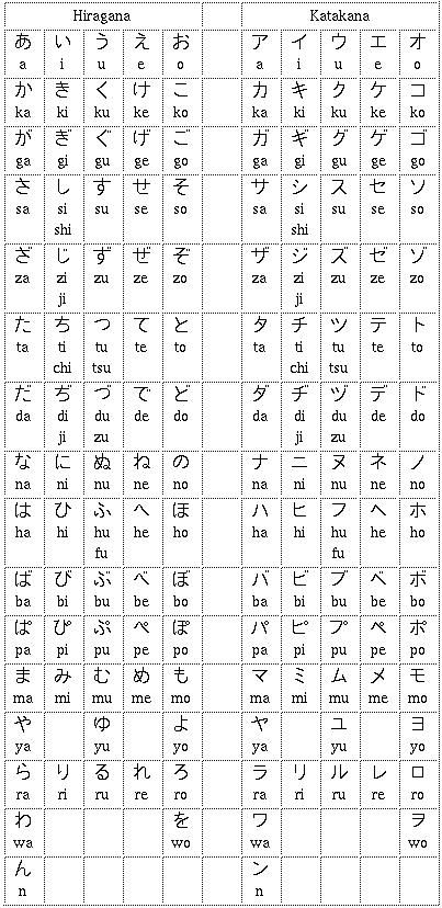
And finally, a quick language note: you'll see signs with furigana like ふりがな and place-specific markers such as 立山黒部アルペンルート and 雪 (yuki, snow)の大谷 next to romanised names. Use them as reading aids, not crutches. Wait, there's more.
Frequently Asked Questions
When does the Alpine Route usually reopen?
The route typically reopens in mid to late April after winter closure, but dates can change with snow conditions.
How high are the snow walls?
The snow corridor often reaches between 15 and 20 metres in height during heavy-snow years.
Is the route suitable for beginner Japanese learners?
Yes, furigana and bilingual signage make it accessible, and it's a great place for practical vocabulary practice.